
If you take your cycling at all seriously, then there is a good chance that you will have used Strava’s smart phone app at some stage. Strava’s primary purpose is to let cyclists log their rides and compete virtually against their personal best times, or against other people in their local area. However, with the data that has been collected since 2009, other uses for the data are starting to become apparent.
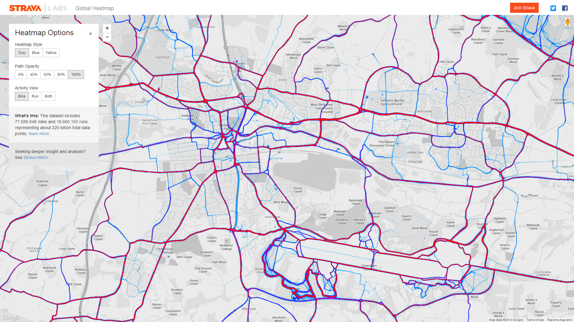
When the data from individual users is aggregated, it starts to show trends and common routes used by cyclists. Strava has released this data in the form of heatmaps, which show the routes cycled by users, with emphasis and weight given to the most common routes. This can be used to help identify where cyclists currently ride and where spending on cycling infrastructure should be prioritised.
Looking at the Newbury and Thatcham area highlights the importance of the A4 as a cycle route. Spokes has long campaigned for this route to be upgraded and this data adds additional weight to the argument. It is also interesting to note how well used the towpath is, including the section between Boundary Road and Thatcham Station. If so many people are using the towpath when it is in such a poor condition, imagine how many would use it when it is upgraded!